DDD-
110
Negative
The platform remains relatively underexplored given its remote Arctic location and environmental resistance to exploration. Comprehensive sanctions, including on Rosneft and Lukoil, the seizure of foreign assets and the war in Ukraine make investment impossible for Western companies. Outlook: Negative.
October 12, 2026
Former Soviet Union
Offshore
Gas
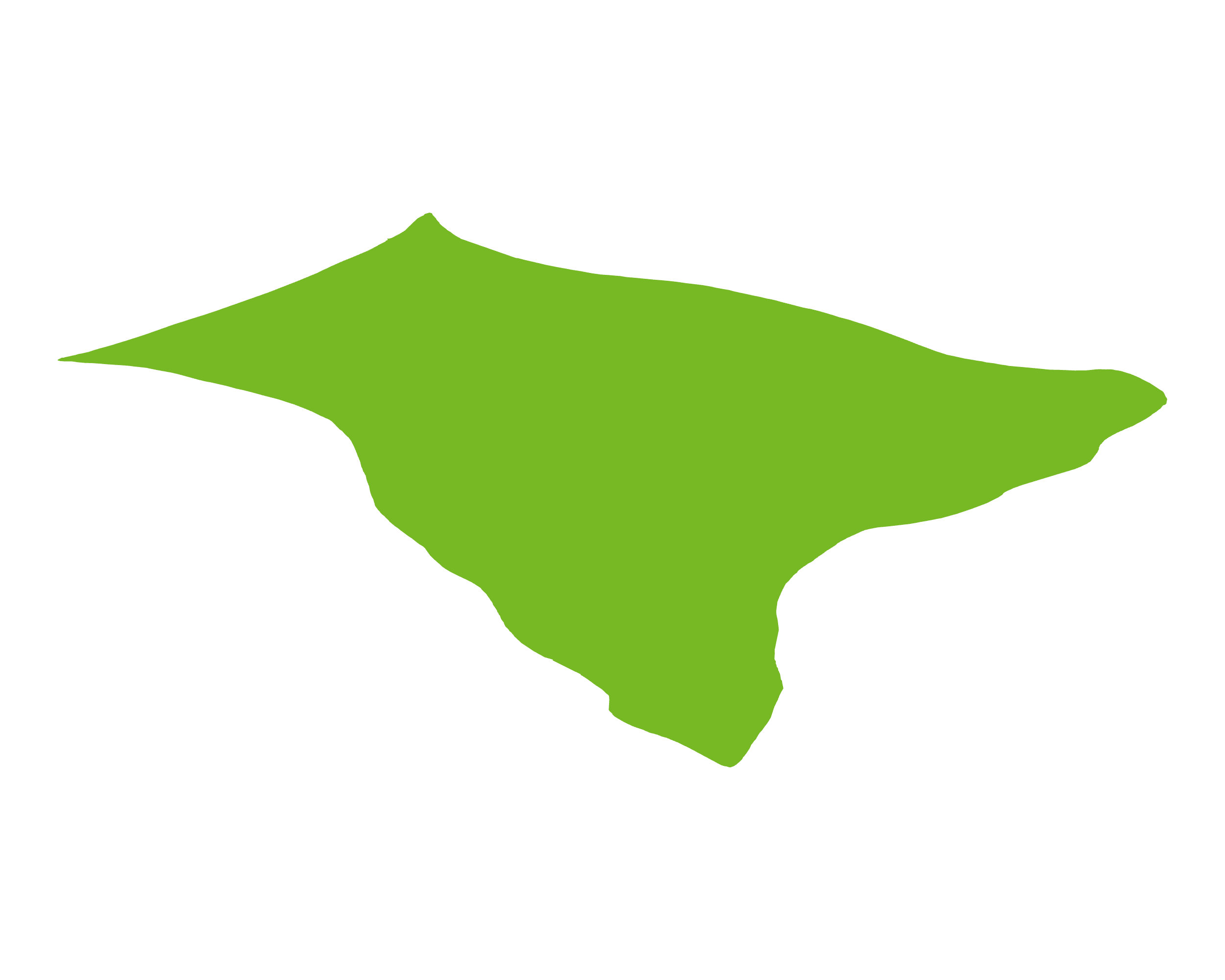
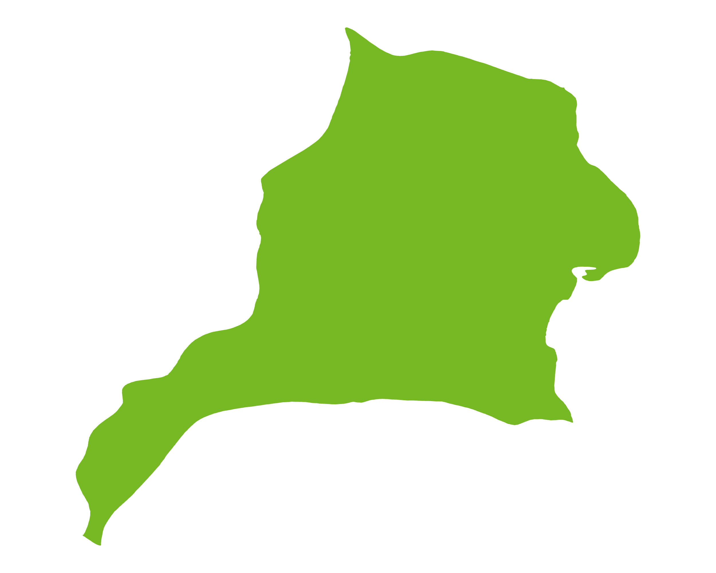
The CBPB is one of a number of basins that comprise Barents Basin ("BRTB"). The BRTB is a sedimentary basin between the Kola Peninsula and Novaya Zemlya, bordered by the Timan-Pechora Basin to the south, the Murmansk Rise and Murmansk Plateau to the west, the Admiralty High and the island of Novaya Zemlya to the east, and rise of Franz Josef Land to the north. Development of the Basin began in the late Palaeozoic. Collision of Baltica with the West Siberian plate (the Permo-Triassic Uralian and Early Jurassic Early Kimmerian orogenies) created the Ural and Novaya Zemlya fold belts, which shed sediment westward into the eastern Barents foredeeps. Subsidence and sedimentation were greatest during the latest Permian and Triassic, with up to c.20km of fill in the South Barents Basin. Mature Triassic marine shales are the principal (largely gas-prone) source rocks in the east, with most identified reserves in Jurassic sandstones; Jurassic organic-rich shales are the most viable source rocks in the western Barents Sea.
While well defined, it is relatively under explored due to its location. There is significant resistance to oil & gas exploration due to environmental concerns.
Source: ESRI, BGS, USGS & OGA data

© 2024 Oil & Gas Advisors Limited
Website by Rugby Web Design