DDD-
109
Negative
The basin remains frontier, and while the new petroleum law clarifies contractors' position and TPAO is exploring offshore, al-Shabaab's territorial gains and disputes over the 2026 elections make security a decisive drag. Outlook: Negative.
October 12, 2026
Africa - East
Onshore
Oil
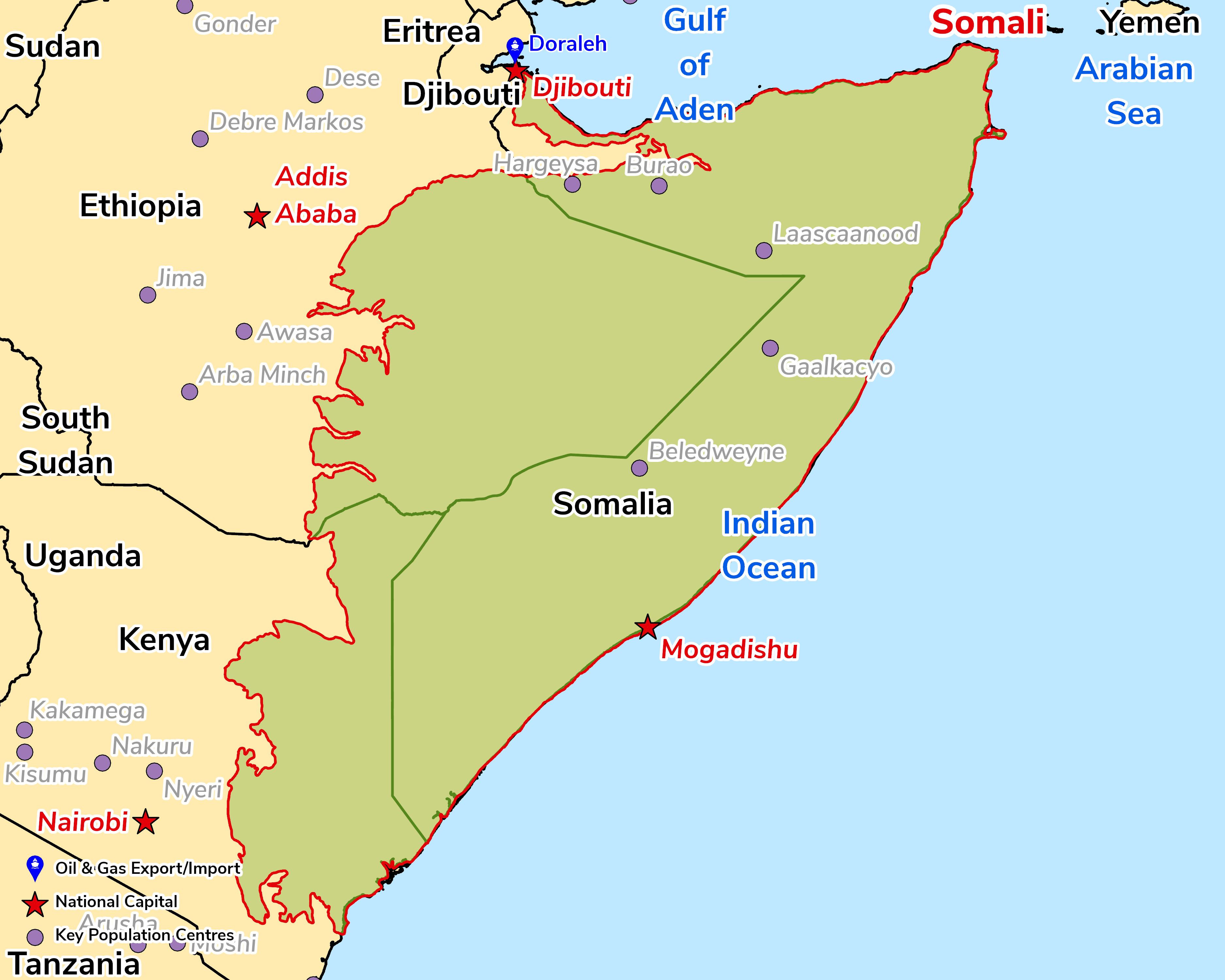
The geology of Somalia is dominated by uplifted and exhumed basement blocks, exposed along the Gulf of Aden, and rift basins containing thick Mesozoic and Cenozoic sedimentary successions. There have been a number of stratigraphic and structural studies of the Mesozoic and Cenozoic sequences in northern Somalia and a few studies have delineated the subsurface based on outcrop geology. However, more detailed subsurface investigations are required to delineate hydrocarbon potential, especially given the prospectivity yielded by the few exploration wells that have been drilled.
The basin has moved from seismic to drilling. Under a 2024 agreement, TPAO acquired 4,464sq km of 3D seismic across three offshore blocks, and in April 2026 began the country's first offshore well, Curad-1, in c. 3,500m of water (targeting c. 7,500m total depth). Results are expected by end-2026. The basin remains frontier, and security and governance, rather than the subsurface, are the key risks.
Source: ESRI, BGS, USGS & OGA data

© 2024 Oil & Gas Advisors Limited
Website by Rugby Web Design

