B-
71
Negative
Despite remaining prospectivity, the Scottish government's opposition to onshore development and the end of new licensing and the Energy Profits Levy leave little prospect of new activity. Outlook: Negative.
October 12, 2026
Europe - North West
Onshore & Offshore
Gas
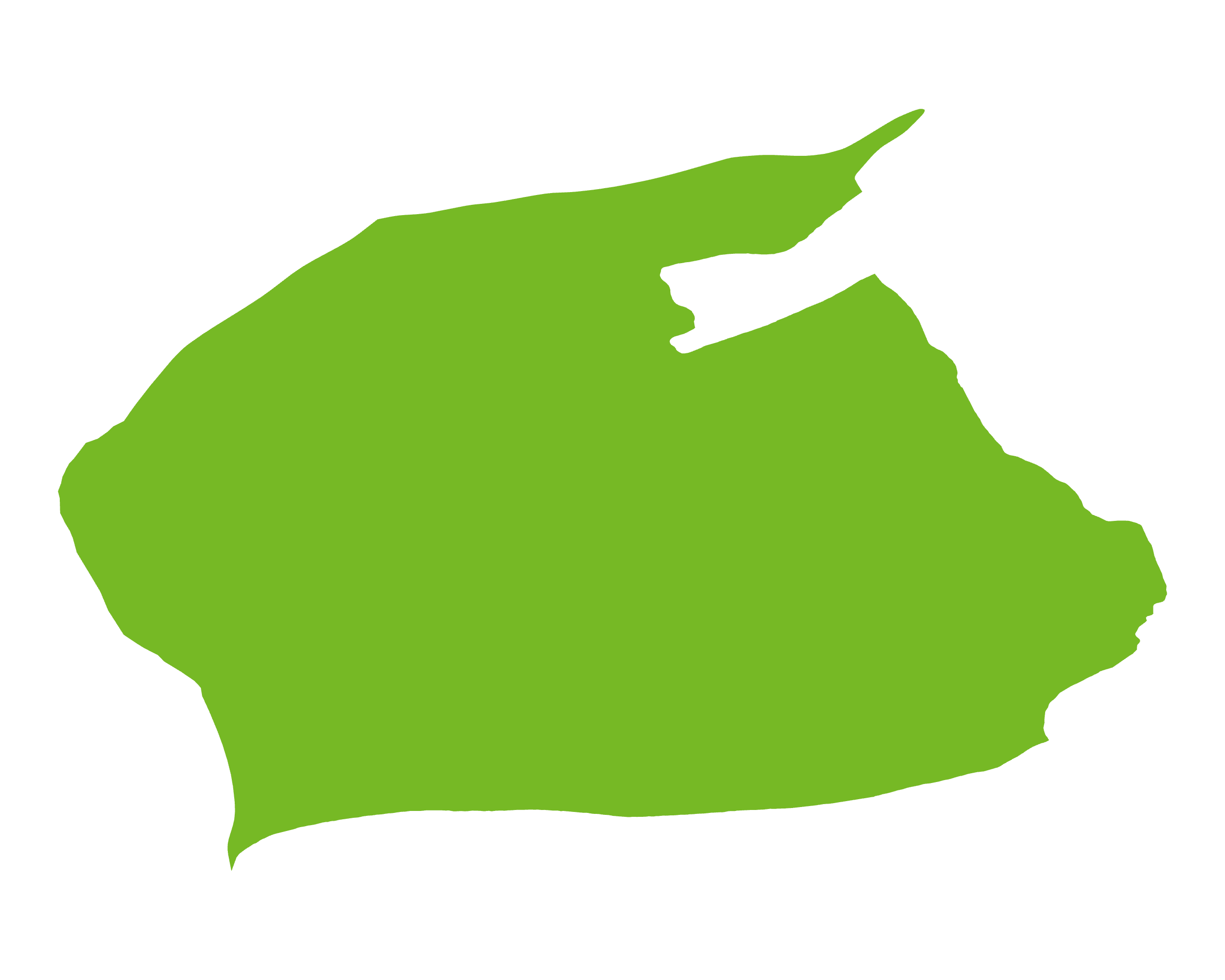
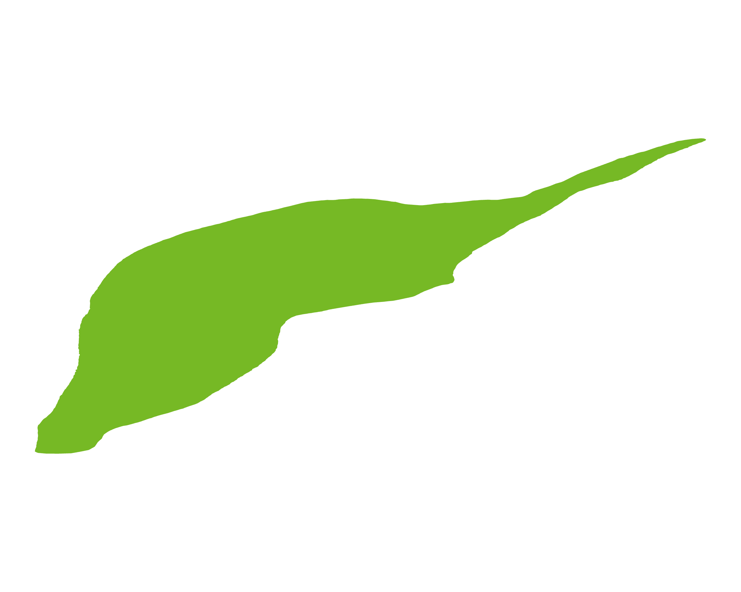
The MVFB is a northeast/southwest-trending graben bounded to the north by the Highland Boundary Fault and to the south by the Southern Upland Fault, extending offshore into the Firth of Forth approaches. The fill begins with Lower Devonian (Lower Old Red Sandstone) lavas and alluvial-lacustrine clastics, locally up to c.7.5km thick in Strathmore. Middle Devonian rocks are absent following uplift and folding, and Upper Devonian red beds lie unconformably above. The Carboniferous succession of fluvio-deltaic, lacustrine and marine sediments, coals and volcanics hosts the petroleum system: Strathclyde Group oil shales (notably the West Lothian Oil-Shale Formation) and other organic-rich Carboniferous mudstones are the main source rocks, which supported historic oil-shale mining and small oil and gas discoveries. The BGS estimated in-place shale resources of 3.2–11.2bn bbl of oil and 49–135tcf of gas.
There has been a significant amount of activity in the Basin to date, especially in the offshore area of the Basin, but prospectivity remains both onshore and offshore.
Source: ESRI, BGS, USGS & OGA data

© 2024 Oil & Gas Advisors Limited
Website by Rugby Web Design