BBB±
31
Neutral
The Saudi part of the basin, where most activity has taken place, remains under Aramco's control, limiting access for independents, while the UAE has begun licensing blocks. Jafurah gas development offers service and partnership opportunities. The 2026 Iran war and Houthi attacks on shipping have raised regional security and export-route risk. Outlook: Neutral.
October 12, 2026
Middle East
Onshore & Offshore
Gas
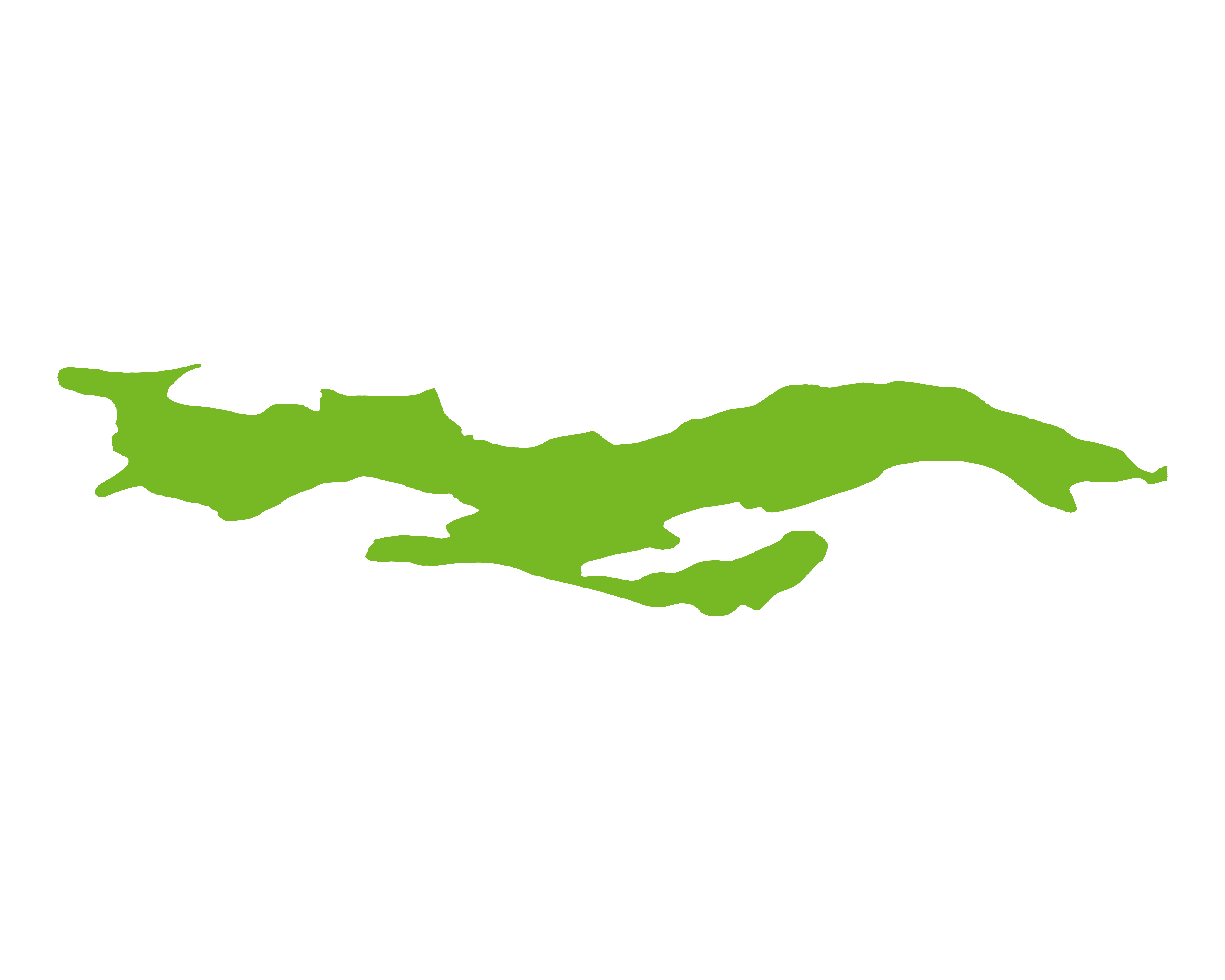
The Rub Al Khali Basin is one of the largest and most prolific hydrocarbon producing basins in the world. The Basin itself covers almost the entire southern portion of Saudi Arabia and extends north eastwards into the Arabian Gulf encompassing northern Oman and the UAE. The Rub' Al-Khali basin lies below a Quaternary sand sea and the structural evolution from the late Precambrian to Neogene is known only from reflection seismic, gravity and magnetic data, and wells. Gravity and magnetic data show north-south and northwest-southeast trends, matching mapped Precambrian faults. The deepest structures imaged on reflection seismic data are undrilled Precambrian rifts filled with layered strata at depths up to 13km.
The RAKB, while not being widely explored, has not been open to exploration in the traditional sense. However, more recently, the UAE has started to licence blocks in the RAKB, drawing undated technical knowhow and independents' enthusiasm for development.
Source: ESRI, BGS, USGS & OGA data

© 2024 Oil & Gas Advisors Limited
Website by Rugby Web Design