
CCC-
87
Negative
The basin is in long-term decline, and California's restrictive permitting remains the key constraint, with the 2025 SB 237 relief limited to Kern County. Federal policy is supportive but cannot override state controls. Outlook: Negative.
October 3, 2026
Americas - North
Onshore & Offshore
Oil
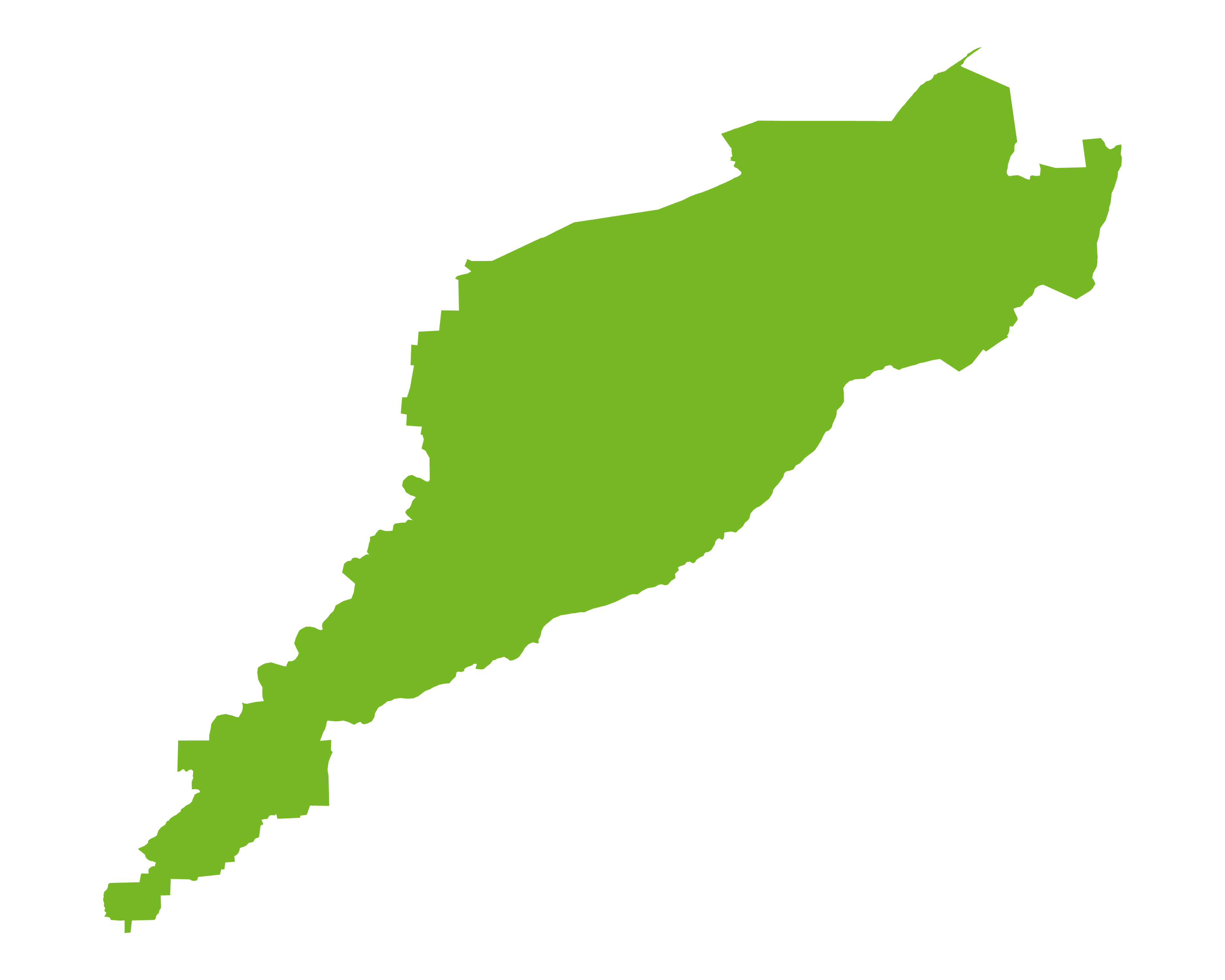
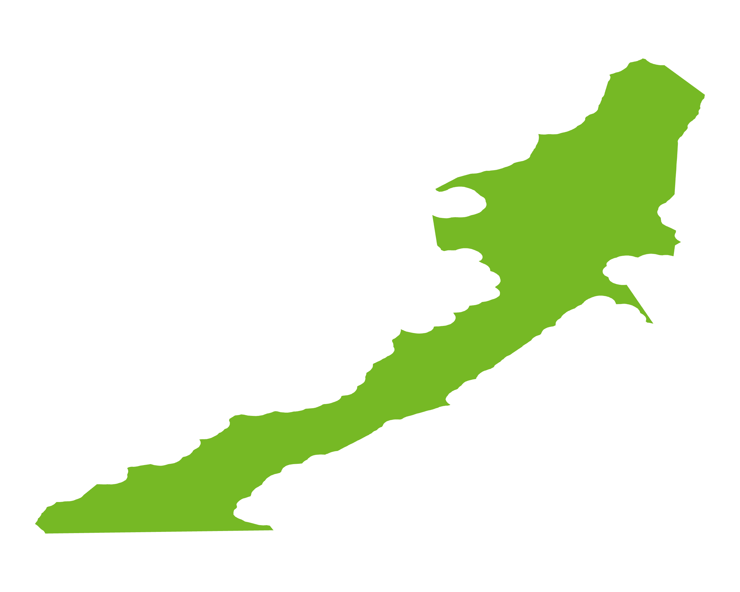
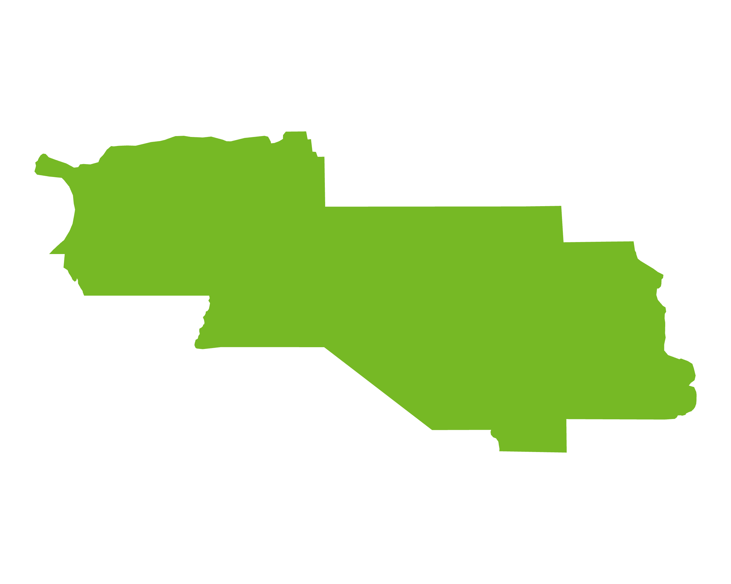
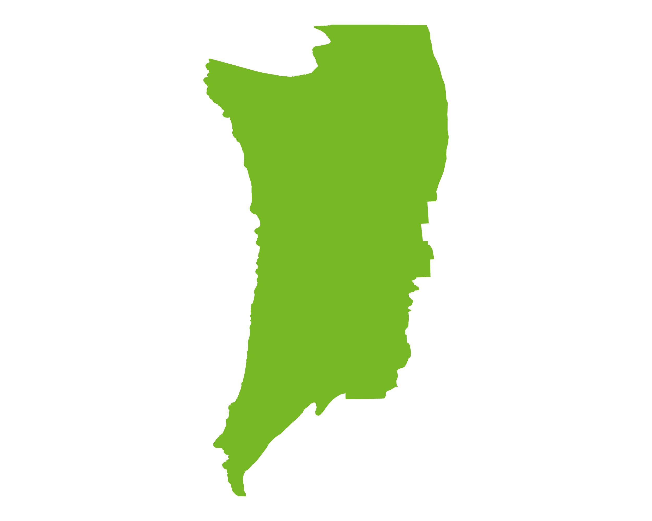
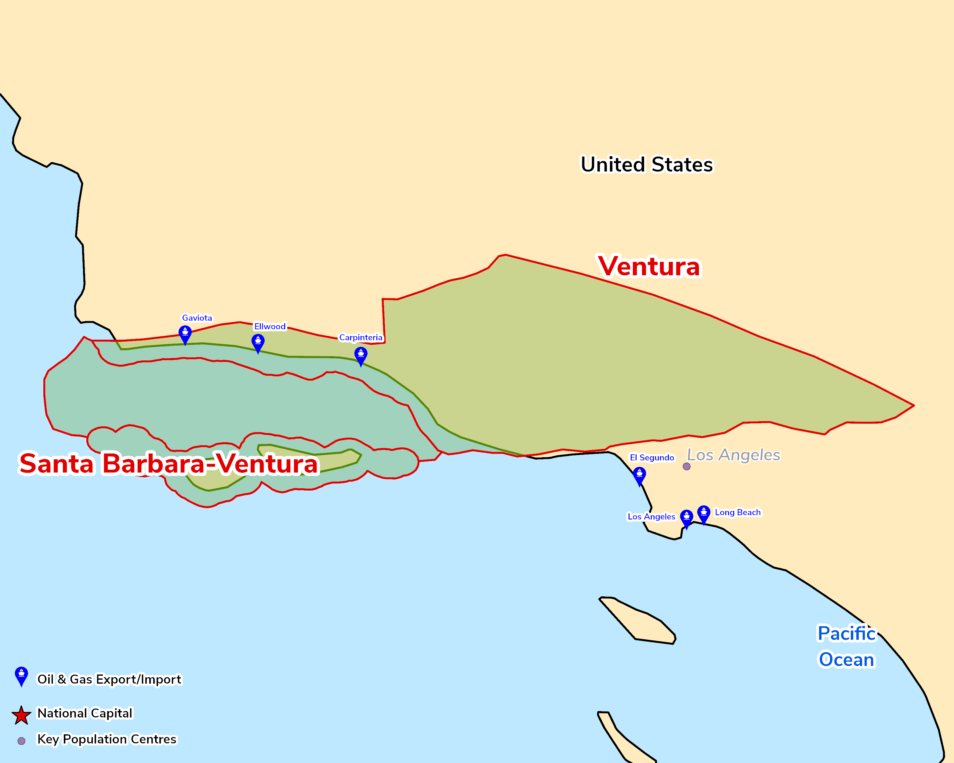
The Ventura Basin is an east–west-trending trough in the Transverse Ranges of southern California, extending from north of Los Angeles to the coast near Ventura and continuing offshore as the Santa Barbara Channel. Its present form reflects clockwise rotation of the crustal block and Neogene transpression along the Pacific–North American plate boundary, which produced a deep, rapidly filled basin with tight anticlinal traps. The Miocene Monterey Formation, a marine organic-rich siliceous mudstone deposited from c.16 to 5 Ma, is the principal source rock, with Pliocene–Pleistocene turbidites and Paleogene sandstones such as the Sespe Formation among the main reservoirs. A long-established, mature oil province, it was assessed by the USGS in 2016 at mean undiscovered resources of 250mm bbl of oil and 519bcf of gas onshore and in state waters.
The Basin is a mature, century-old oil province with production in long-term decline. State policy remains the key constraint: California's 2026 streamlining of drilling permits (SB 237) applies only to Kern County, so new drilling in Ventura County remains limited. The USGS estimates 250mm bbl of oil and 519bcf of gas remain to be found.
Source: ESRI, BGS, USGS & OGA data

© 2024 Oil & Gas Advisors Limited
Website by Rugby Web Design