B-
73
Negative
The East Greenland Rift remains a high-potential frontier, but activity is limited to pre-existing licences such as onshore Jameson Land, where drilling has slipped to around late 2027. The 2021 suspension of new oil and gas licensing makes new entry unlikely, and US pressure over sovereignty adds geopolitical risk. Outlook: Negative.
October 12, 2026
Americas - North
Offshore
Oil
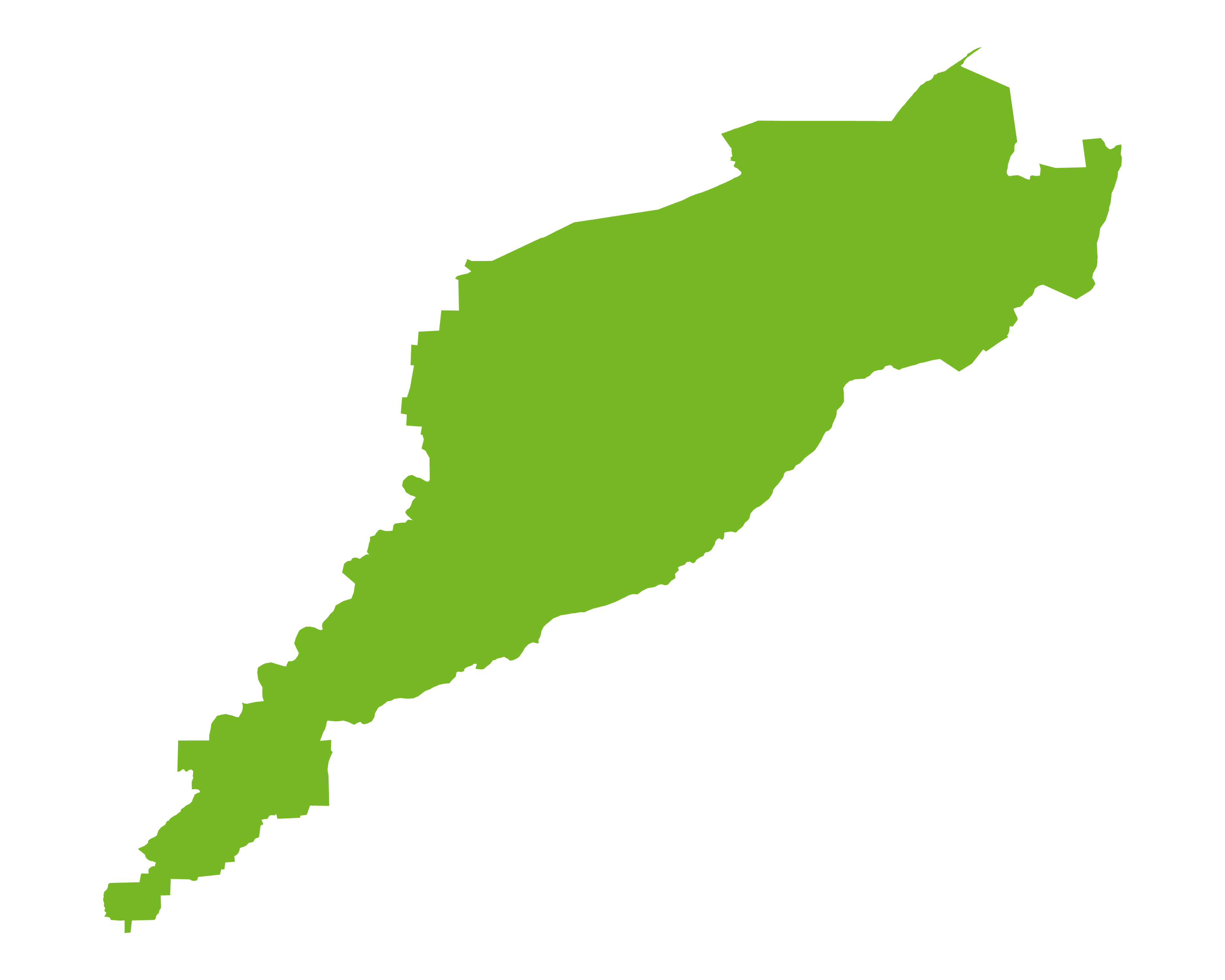
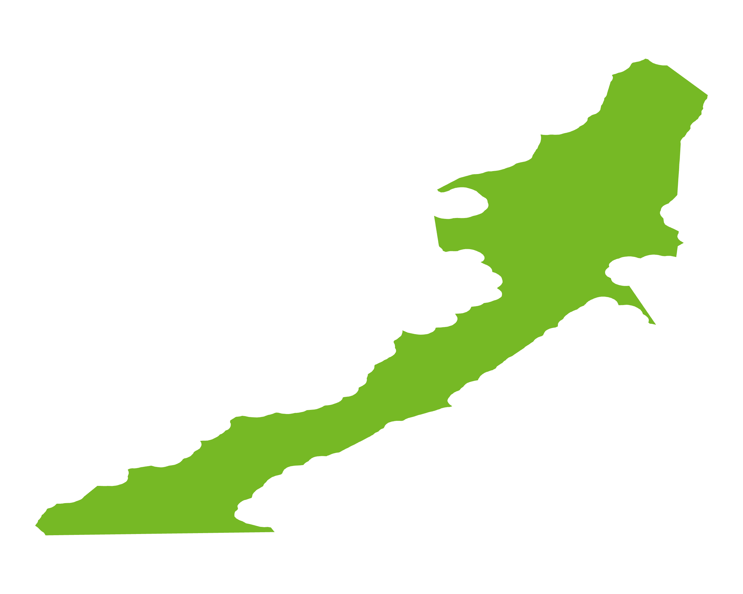
The East Greenland Rift Basins developed following the Devonian collapse of the Caledonian orogen, with multiple phases of late Palaeozoic–Mesozoic rifting related to the separation and eventual break-up of Greenland and Eurasia. A nearly complete Devonian to Upper Cretaceous succession, deposited in continental to deep-marine settings, overlies Precambrian basement reworked during the Caledonian orogeny. The USGS (2007) province covers c.500,000sq km, most of it offshore beneath less than 500m of water, and was subdivided into seven assessment units. Upper Jurassic marine shales are considered the most likely source rocks, with possible reservoirs in Jurassic shallow-marine and Cretaceous deep-marine sandstones and a wide variety of structural, salt-related and stratigraphic traps. The USGS estimated a mean undiscovered resource of c.31.4bn boe.
New oil and gas licensing was suspended in June 2021, so activity is limited to a handful of pre-existing licences. The only active project, onshore Jameson Land, has seen planned drilling slip to around late 2027 pending regulatory approvals. The basin remains a high-potential frontier, but policy makes new entry unlikely.
Source: ESRI, BGS, USGS & OGA data

© 2024 Oil & Gas Advisors Limited
Website by Rugby Web Design