
BB±
44
Neutral
The WRB is mature, and future growth will come mainly from improved recovery and the Moneta Divide gas development, whose pace is constrained by produced-water disposal following the EPA's 2024 rejection of injection into the Madison aquifer. Federal policy now supports leasing on federal land, removing a key previous concern. Outlook: Neutral.
October 8, 2026
Americas - North
Onshore
Gas
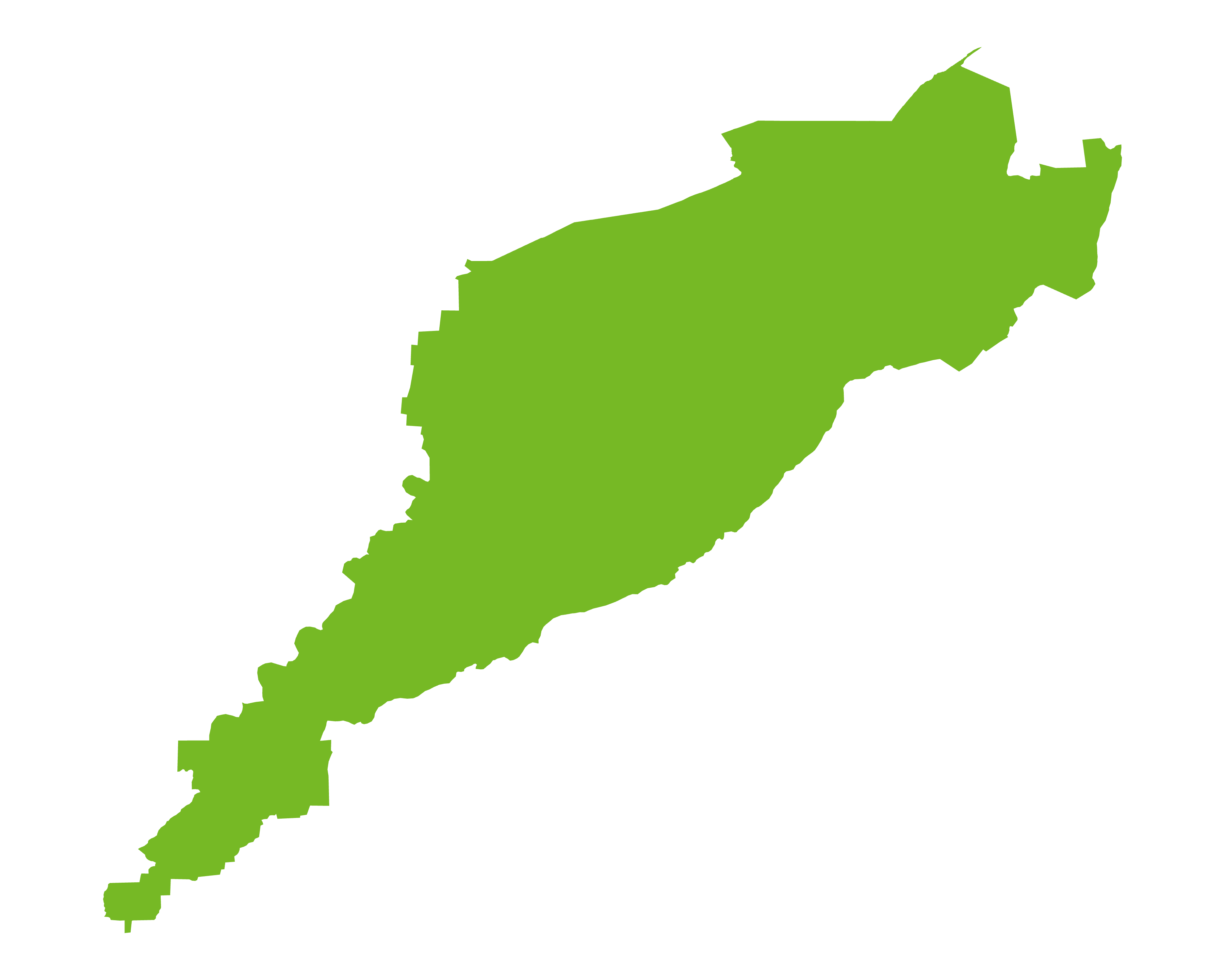
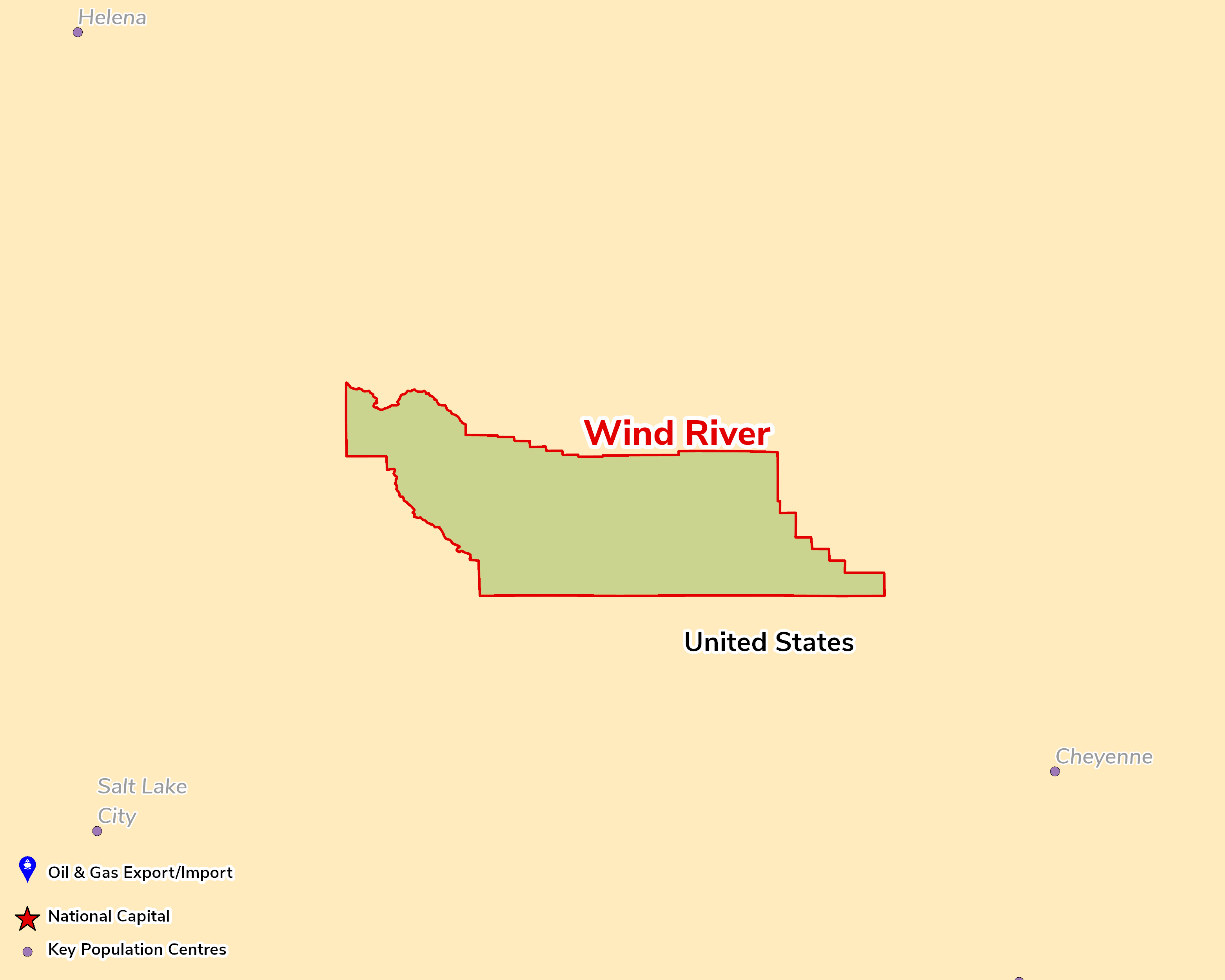
The WRB is an east–west elongate Laramide structural basin in central Wyoming, about 300km long and 115km wide and covering some 4.7 million acres. It is bounded by the Wind River Range to the west, the Owl Creek Mountains to the north, the Casper Arch to the east and the Granite Mountains to the south. The basin is strongly asymmetric, with its north-west–south-east axis close to the northern margin, where the basin centre holds more than 25,000ft (7,620m) of fill and strata are near-vertical to overturned. Traps are mainly domes and anticlines on the basin margins in pre-Laramide rocks, together with sub-thrust plays and stratigraphic traps in the Phosphoria, Frontier, Muddy and Mesaverde. The Tensleep Sandstone and the Phosphoria and Park City formations are the primary reservoirs, charged largely by the Permian Phosphoria (Meade Peak and Retort members) to the west; deep Madison Limestone gas is produced at Madden field, and the Cody (Niobrara interval) and Mowry shales have been assessed by the USGS for continuous resources.
The basin is mature, but oil production has held at 3–5mm bbl a year since the mid-1990s thanks to secondary and tertiary recovery, such as CO₂-EOR at Beaver Creek. Gas output stabilised from 2020, helped by the 4,250-well Moneta Divide project (Aethon and Burlington Resources), and the basin supplies 6–7% of Wyoming's gas. Produced-water disposal is the main constraint on Moneta, after the EPA rejected injection into the Madison aquifer in 2024. The USGS estimates mean undiscovered resources of 389mm bbl and 1.8tcf in the Cody Shale Niobrara interval.
Source: ESRI, BGS, USGS & OGA data

© 2024 Oil & Gas Advisors Limited
Website by Rugby Web Design