
BB§
61
Uncertain
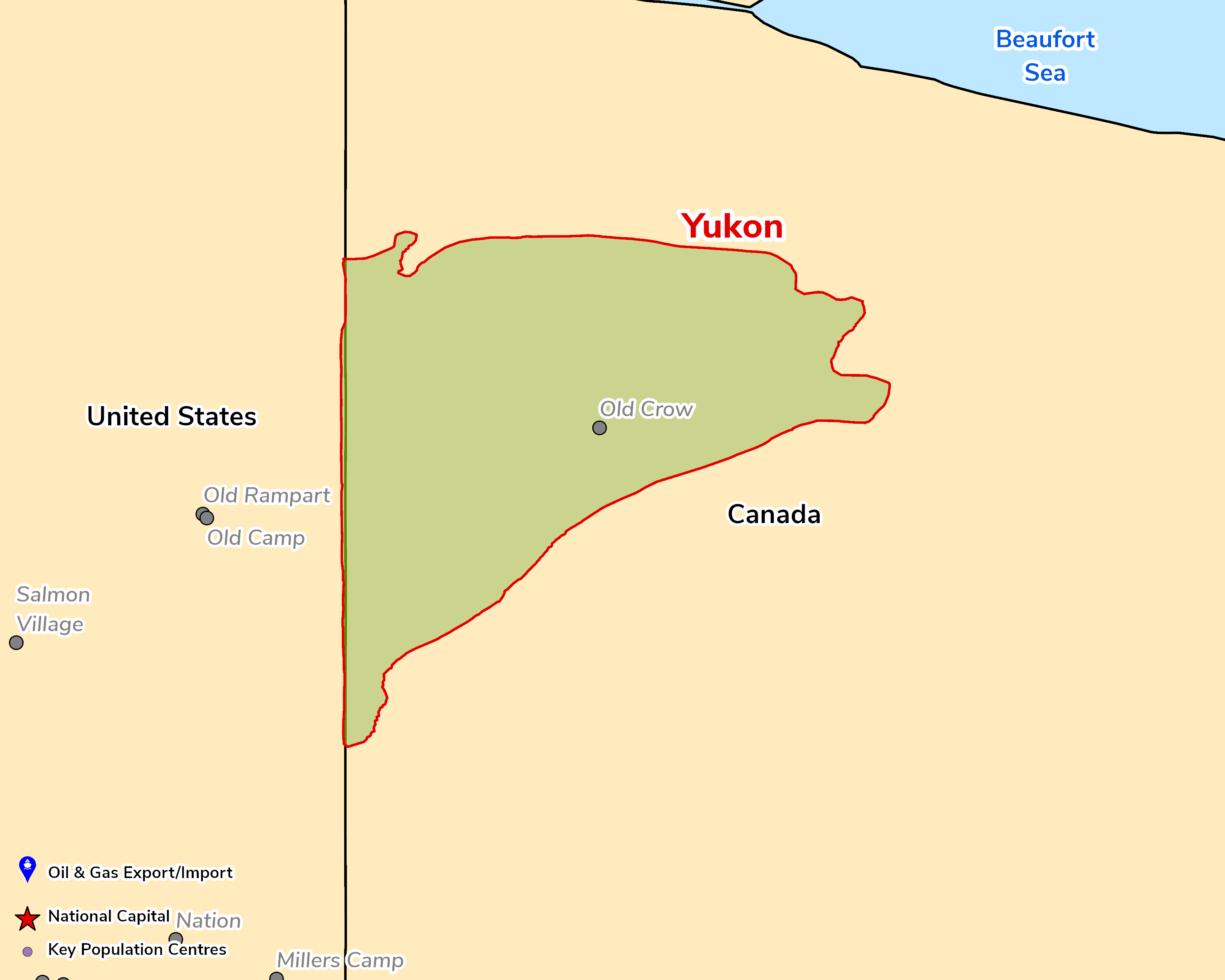
North Yukon has proven but undeveloped oil and gas, with no pipeline access and no new exploration rights issued since the posting process was halted in late 2017 in response to First Nations concerns. The pro-resource Yukon Party government elected in 2025 and the federal shift towards supporting oil & gas could reopen the area, but First Nations consent remains the key constraint. Outlook: Uncertain.
October 8, 2026
Americas - North
Onshore
Gas
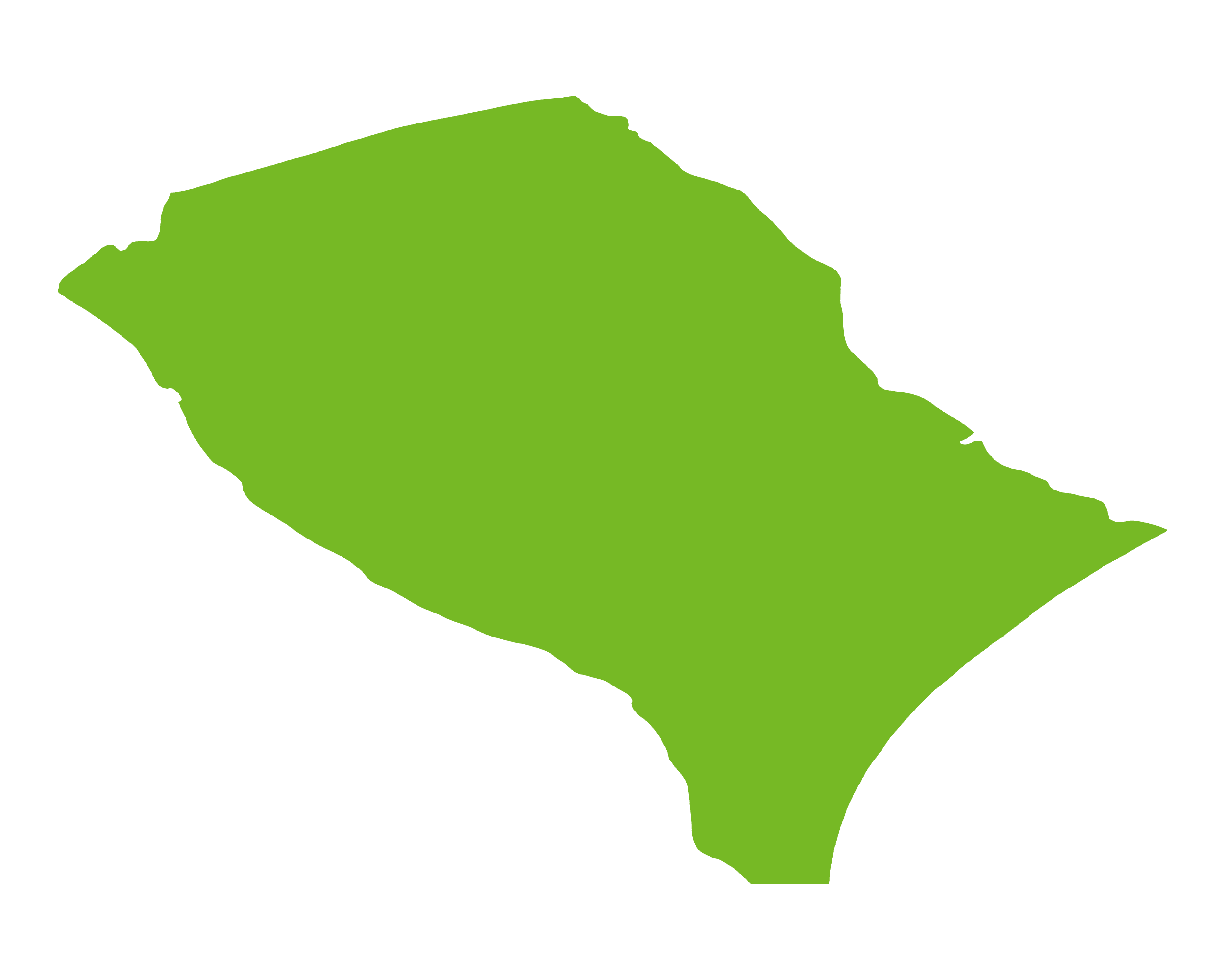
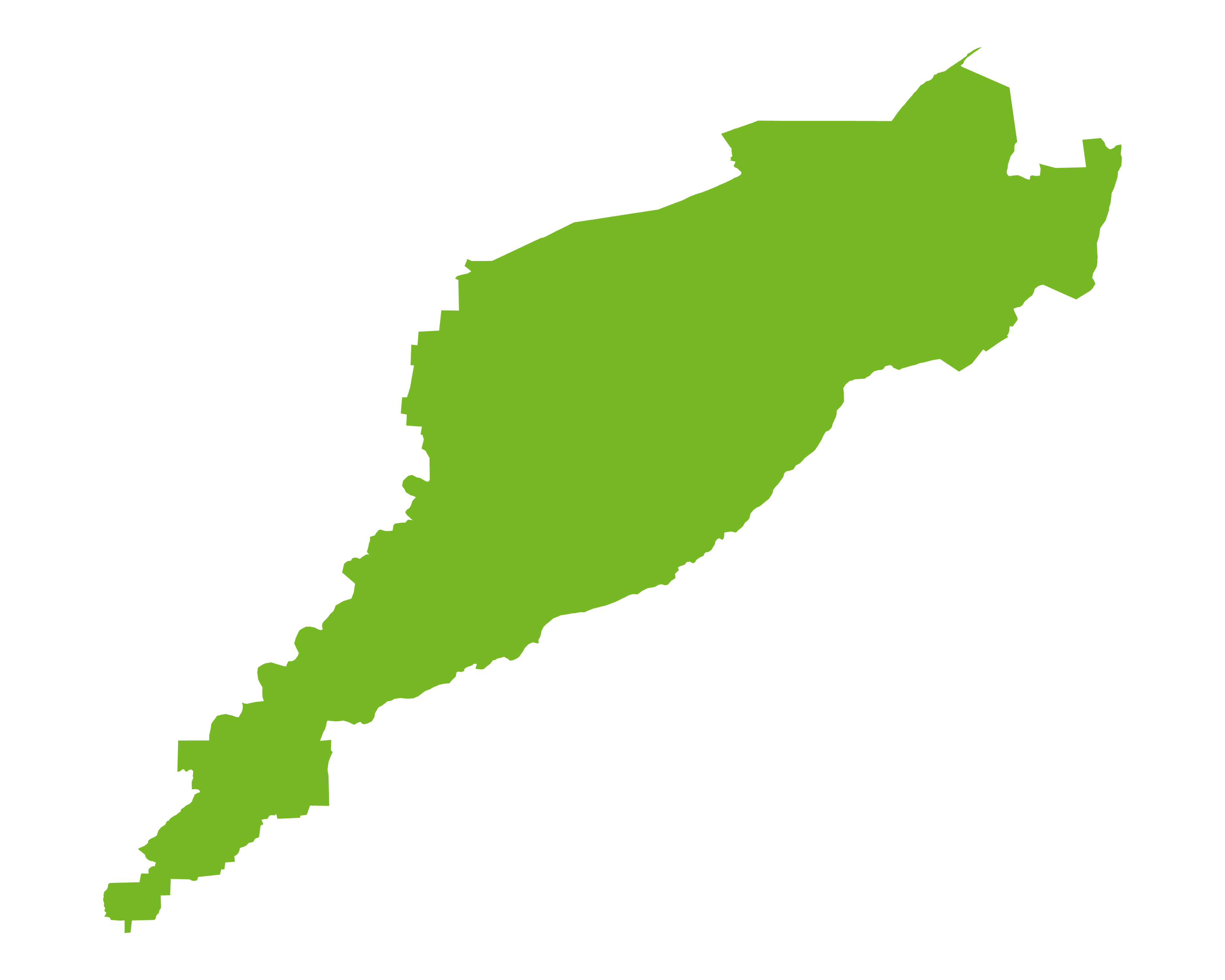
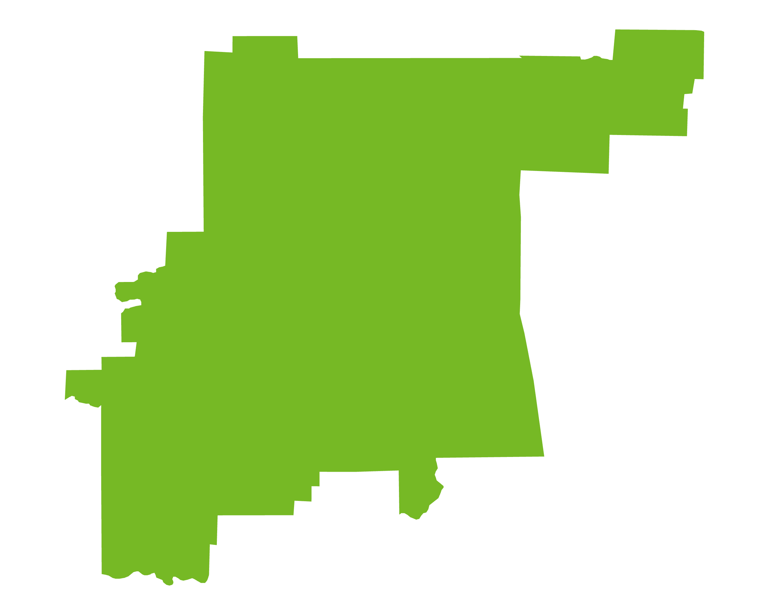
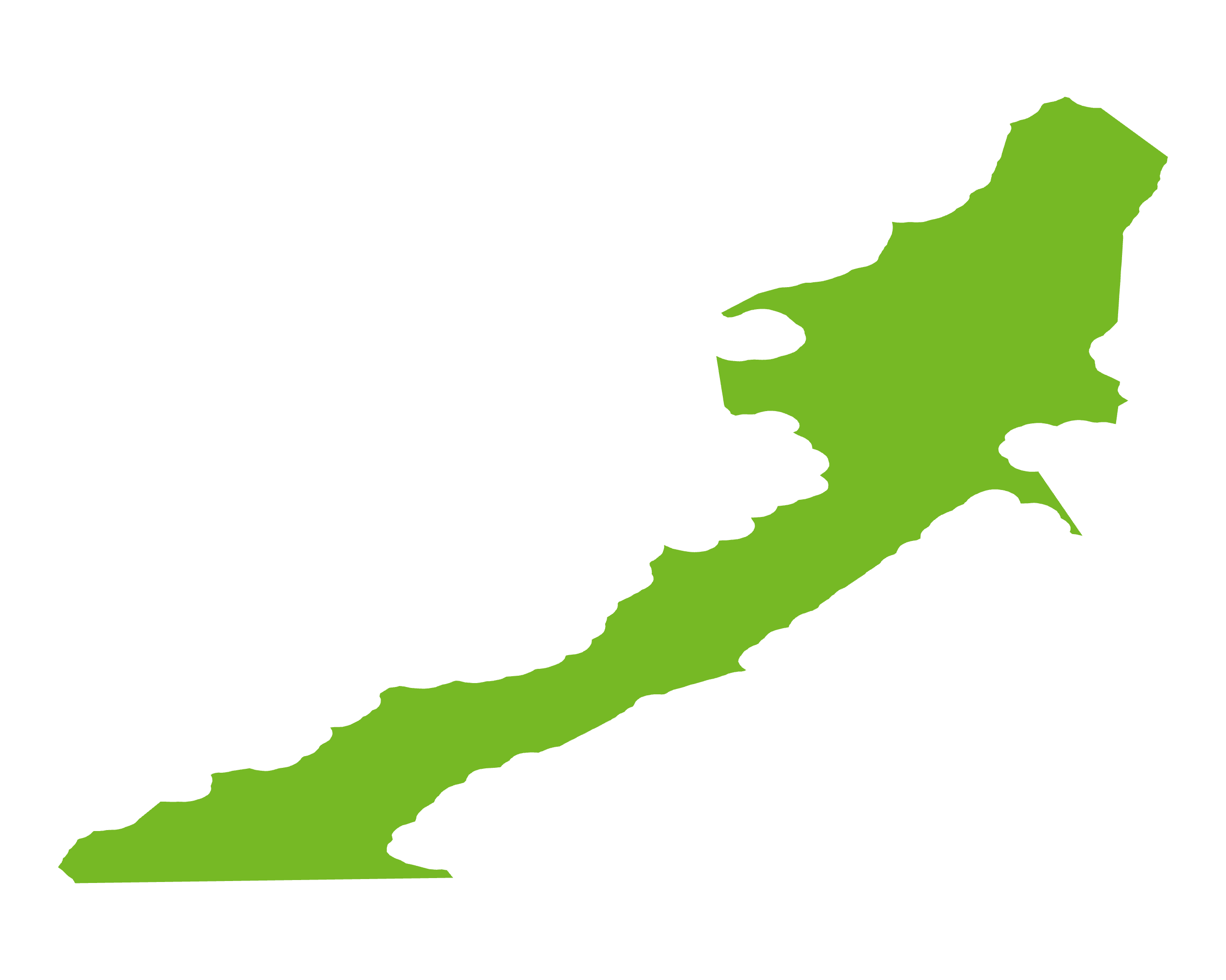
The Yukon Basin (USGS province 5247) covers the intermontane basins of northern Yukon, of which Eagle Plain is the most prospective. These basins lie north-east of the Tintina Fault within the Northern Yukon Fold Complex, and their stratigraphy is broadly comparable to that of the Western Canada Sedimentary Basin. Eagle Plain is a compressional structural basin with up to 5,800m of sediment; from the Cambrian to the Carboniferous it subsided continuously as part of the western continental-margin miogeocline, before being deformed during Cordilleran compression. Oil and gas have been proven in Devonian, Carboniferous (Hart River and Jungle Creek formations) and Cretaceous reservoirs, with Cretaceous slope stratigraphic and Triangle Zone structural plays at the basin margins.
Exploration is at a standstill. Only 76 wells have been drilled across Yukon, mostly in the 1960s and 1970s, and the most recent were in Eagle Plain in 2012–13; Yukon has had no oil or gas production since Kotaneelee shut in during 2012. In late 2017 the government discontinued the rights-posting process for Kandik and Eagle Plain after First Nations objections, although Chance Oil and Gas's Eagle Plain permits were extended in 2022. The Yukon Party government elected in November 2025 is pro-resource but has so far focused on mining and power supply.
Source: ESRI, BGS, USGS & OGA data

© 2024 Oil & Gas Advisors Limited
Website by Rugby Web Design