
A+
12
Positive
Basin transactions are numerous, and Eagle Ford and Austin Chalk development continues, supported by rising Gulf Coast LNG and power demand. Federal policy strongly supports oil & gas investment. Outlook: Positive.
October 7, 2026
Americas - North
Onshore
Gas
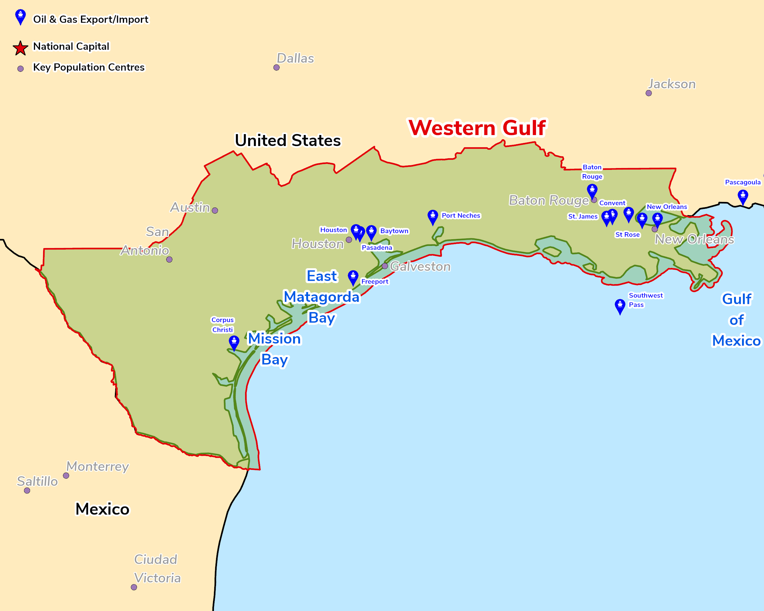
The Western Gulf Province, in the north-western part of the Gulf of Mexico Basin, comprises numerous sub-basins and has been a prolific producer. Within the Smackover-Austin-Eagle Ford Composite Total Petroleum System, the primary source rocks are Upper Jurassic Smackover carbonate mudstones and shales and Upper Cretaceous Eagle Ford Group marine shales, with Haynesville and Bossier shales also contributing. Plays of most interest include the Eagle Ford shale and the Austin Chalk, the Cotton Valley, Navarro and Taylor groups, and the Tuscaloosa, Haynesville, Bossier, Woodbine and Travis Peak-Hosston formations, all of which have been assessed by the USGS for conventional and continuous resources.
Basin transactions are numerous and vary in size. With new development opportunities still presenting themselves and a benchmark operating environment, basinal activity remains high. However, recent price headwinds are creating a feeling of uncertainty for the basin.
Source: ESRI, BGS, USGS & OGA data

© 2024 Oil & Gas Advisors Limited
Website by Rugby Web Design